
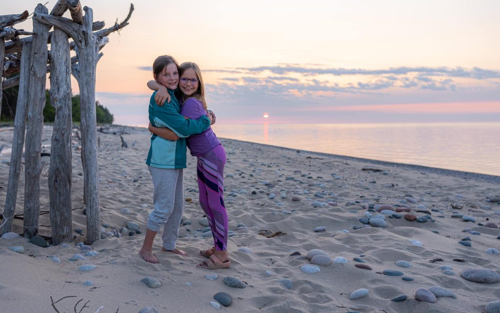
Twelvemile Beach
Twelvemile Beach is very secluded and is located just after Spray Falls. Located 16 miles west of Grand Marias, on CR H-58.
Twelvemile Beach is very secluded and is located just after Spray Falls. Located 16 miles west of Grand Marias, on CR H-58.
This gem of a beach is a very popular spot for tourists and residents alike and is a great place to watch the sunsets. Located at the end of the Sand Point Road, just four miles northeast of Munising. The Weather Channel has named Sand Point Beach within Pictured Rocks National Lakeshore as one of

Named by early explorers as La Chapelle, this formation is one of the many found throughout the Pictured Rocks National Lakeshore. Located approx. 15 miles east of Munising, off H58 about fives miles north to the end of Chapel Road. There is about a two mile hike from the parking lot to Lake Superior.

25 miles of cliffs, 360 degree spins, countless smiles. Experience the excitement of riding on a Navy Seal vessel! Feel the breeze and hear the waves. The Riptide Ride combines the ultimate package of fun and beautiful scenery. Hang on to your hat, toupee or whatever else may come off, because the Riptide ride is

Located on picturesque Munising Bay in Munising, Michigan Shipwreck Tours offers modern travelers a chance to see the proud boats which sailed the Great Lakes before the turn of the century.Come Aboard! Discover the shipwrecks of the Alger Underwater Preserve through the clear waters of Lake Superior and view the rock formations of Grand Island.
Shipwreck Tour, Glass Bottom Boat Tour & Lake Superior Wreck Dives Read More »
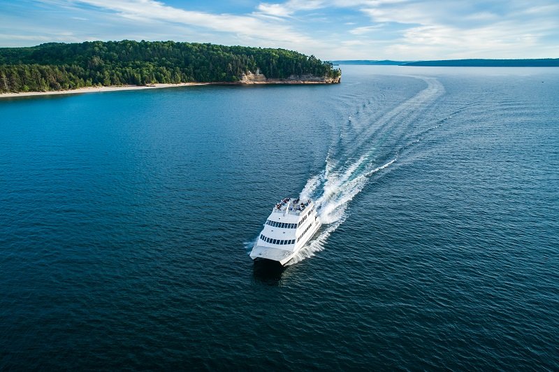
Come & explore the Pictured Rocks National Lakeshore from the comfort of our Tour Boats! The views are breathtaking, up close and wonderful! Sandstone cliffs, beaches, sand dunes, & waterfalls along the Lake Superior Shoreline will delight viewers of all ages. Your journey begins in Munising located in the beautiful Upper Michigan! The Pictured Rocks Cruises, Inc. were honored
Pictured Rocks Cruises Read More »

The Haywire Grade Trail is one of those trails; the tracks have been removed but an onlooker will find old railroad spikes from days gone by. Keep looking and you may find remnants from old iron smelting which look like charcoal but are harder and sometimes full of colors.
The Haywire Grade Trail Read More »

North Country Trail segments (previously called the Lakeshore Trail) – up to 42 miles (through the park) In addition to some of the trails listed above, there are many other trail segments in the park, like Miners Castle to Sand Point, or Log Slide to Au Sable Light Station. Check the Backcountry Trip Planner map
North Country Trail segments – up to 42 miles Read More »
Nice walk between the Grand Sable Visitor Center and the Sable Falls parking lot. The trail offers a stroll through a maple forest and along the edge of old farm fields. No pets allowed.
Grand Sable Forest Trail – 2.0 miles round trip Read More »
Leaving from Hurricane River Campground, walk on the old access road back in time to an isolated Lake Superior lighthouse. Exposed shipwreck remains dot the shoreline, and the quiet light station gives you a feeling of yesteryear where families lived and worked from 1874 to 1958. Guided tours of the lighthouse is available for a
Au Sable Light Station – 3.0 miles round trip Read More »